Help
Glossary
Posted on July 20, 2022 in Help
Routescene’s dictionary to demystify UAV LiDAR terms To help you understand UAV LiDAR and data processing language, here’s a glossary of commonly used geospatial, UAV survey, LiDAR and data processing... Read more
What is UAV LiDAR?
Posted on May 25, 2022 in Help and UAV LiDAR
In a series of articles, we’ll answer the frequently asked questions about UAV LiDAR including how it works, the alternatives, the benefits and the best applications for the technique.
5 reasons to select Routescene for your LiDAR mapping system
Posted on April 29, 2021 in Help and UAV LiDAR
We understand it can be confusing when comparing the various UAV / drone LiDAR mapping systems available on the market to choose the one that’s best for you. Of course... Read more
UAV LiDAR accuracy explained
Posted on April 28, 2021 in Accuracy, Help, UAV LiDAR, and Vehicle LiDAR
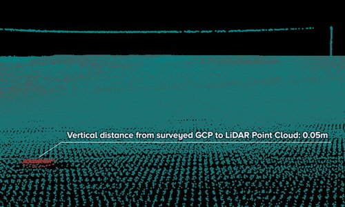
Exploding the UAV LiDAR accuracy myths There is a continual conversation across the UAV LiDAR community about accuracy, what it means and how important it really is. As with any... Read more


