
UAV Ground Control Targets
Improve UAV survey accuracy using Ground Control Targets.

To achieve excellent UAV LiDAR and photogrammetry results you need to adopt a Quality Assurance approach. Routescene provides this as standard. Using Routescene’s specially designed Ground Control Targets as part of your survey and data processing methodology you can establish and verify ground control.
Benefits of using Ground Control Targets
-
NEW in 2022! Photogrammetry decal added
-
Use for both drone LiDAR and photogrammetry surveys
-
Achieve robust and quantifiable results
-
Calibrate your equipment on every project
-
Simplify post processing and avoid data alignment issues
-
Ensure the best possible accuracy is achieved
Why should I use Ground Control Targets?
Watch this video to understand how you can improve and verify accuracy.
How do I establish ground control?
Deploying Routescene’s Ground Control Targets on known and accurately coordinated Ground Control Points (GCPs) prior to each drone LiDAR or photogrammetry survey provides the assurance that the survey has been properly executed.
The Ground Control Targets are large discs to be positioned within your survey area. Placed on known geographical points (the GCPs) the coordinate of each Ground Control Target is established using an accurate and independent survey technique. Whilst establishing Ground Control Points can be time consuming, it takes less time than re-flying a project to improve accuracy.
For UAV LiDAR surveys
The number of Ground Control Targets to be deployed depends on the size of the survey area: for a 500 x 500m area we recommend 4-8 targets are used for the boresight calibration and as check points. Typically each Target will be hit 200-300 times by the lasers from the LiDAR system and can easily be seen in the resulting geo-referenced point cloud. The LiDAR reflective targets and resulting GCPs can be consumed in Routescene’s post-processing software which automatically generates Quality Assurance Reports.
For UAV photogrammetry surveys
The number of Ground Control Targets to be deployed depends on the size of the survey area and the altitude at which you need to fly the site. The lower you fly, the more detail will be captured per photo and the higher the photo resolution will be. However it also means that less photos will contain a GCP and the more photos are needed to cover an area.
"When working for engineering and survey clients accuracy has to be paramount for us. Utilizing the special laser reflective ground control targets from Routescene we have been able to clearly identify survey monuments in the field, survey them and identify those targets in the scan. Having these targets enhances our ability to evaluate the scan’s alignment and our ability to evaluate and report on horizontal and vertical accuracy. It is something that has separated us from the pack. Rekon has had great success with deploying these targets, excellent system."
Vashaun Henderson Rekon Solutions, Canada
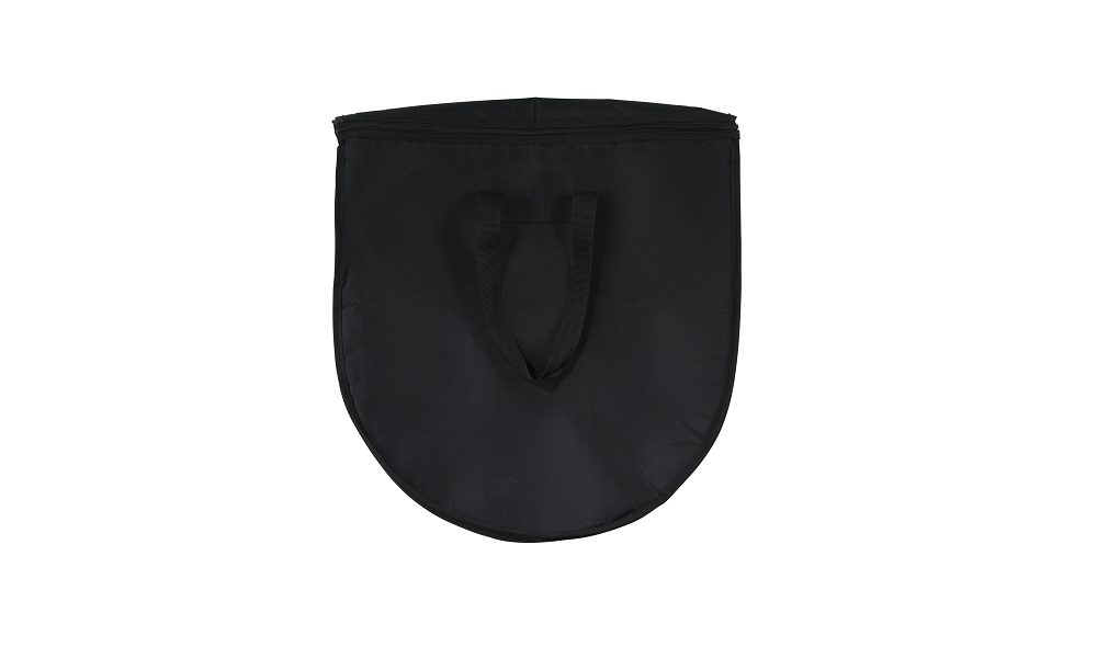
What’s included when I purchase a set of Ground Control Targets?
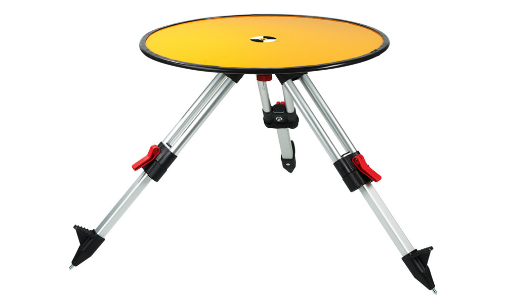
Ground Control Target specification
Specifically designed for drone LiDAR and photogrammetry surveys. Robust design to stay in position in windy conditions, which reduces the need to reposition during a survey.
- Retro-reflective material providing high-intensity returns which are easily identifiable in the point cloud
- Checkered photogrammetry decal for easy identification in photographs
- Bubble level built-in for accurate levelling
- Protective rubber rim for easy handling
- Centre brass disc with 5/8″ threaded hole to fit onto a standard survey tripod
- Diameter: 60cm
- Weight: 2.7kg per Target (excluding the tripod)
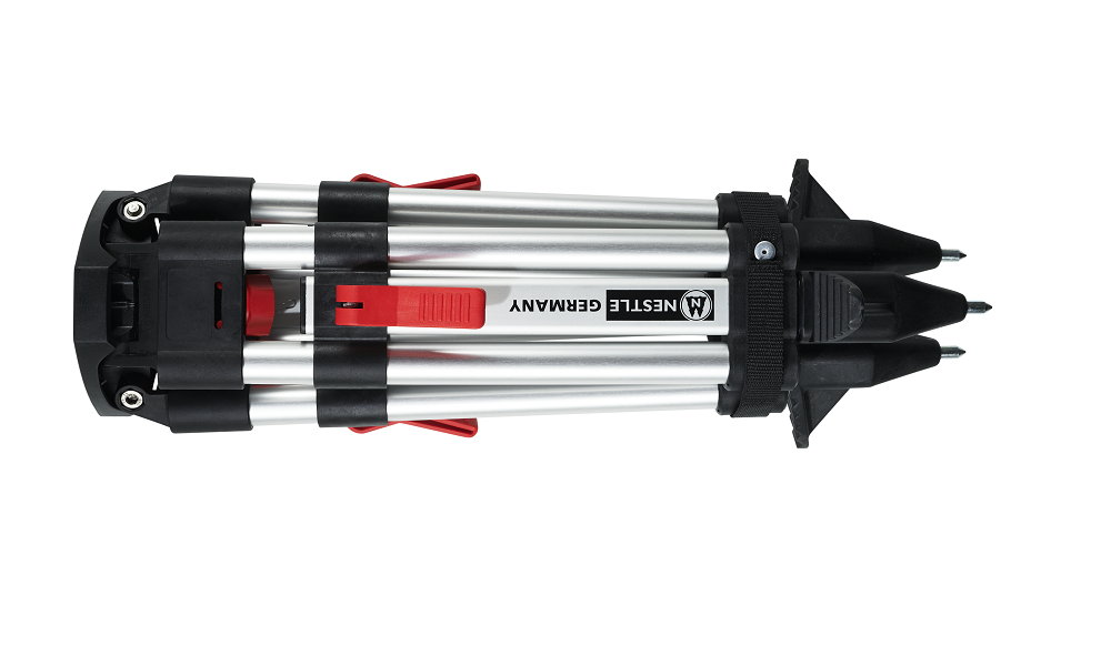
Mini tripod specification
Each Target is raised from the ground using a mini tripod. This enables easy identification in the point cloud and allows the returns to be automatically extracted.
- Specially designed for quick repositioning and levelling
- Quick locking, ergonomically designed excentric clamping levers for easy handling
- Weather-proof and tough anodized aluminium tubes and profiles
- Tripod head made from polymer-fiberglass composite and features integrated circular vial for quick set up
- Plastic components are robust polymer-fiberglass
- Solid tips
- Height range: 38–59cm
- Length folded: 47cm
- Weight: 1.8kg